Plan a Visit
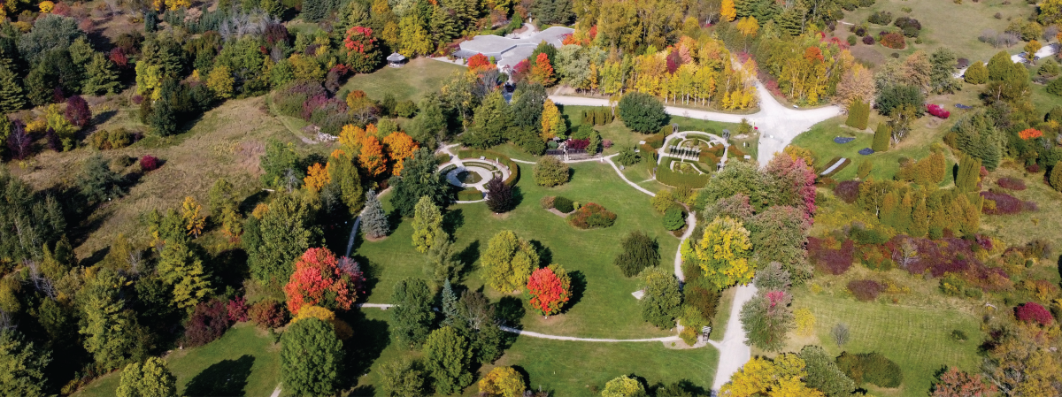
Photo by Richelle Forsey
Download the Arboretum Visitor Map Here
Wondering how to find us?
The Arboretum is accessible by car, bus, bike, or foot. For bus routes and times please refer to the Guelph Transit Website. Click on the Google Map below for walking directions from your location.
GPS Co-ordinates:
OAC Centennial Arboretum Centre: 43.540854900079225, -80.21513264534705
J.C. Taylor Nature Centre: 43.54188096501522, -80.21188117731904
Arboretum Entrance via Main Campus: 43.53610418929407, -80.21972787580182
O.A.C. Centennial Arboretum Centre
From the entrance off of College Avenue, continue South approximately 300m to the parking lot on your left. The Arboretum Centre is on your right.
J.C. Taylor Nature Centre
At the far end of the parking lot across from the Arboretum Centre, you can access the Ivey Trail that leads to the South corner of Victoria Woods and to the Taylor Nature Centre.
R.J. Hilton Centre - Not Open to the Public
The R.J. Hilton Centre is at 384 College Avenue E. There is a sign at the road and it is midway between Cutten Fields and Victoria Road. It is on the north side of College Ave. E. From Victoria Road go west on College to the first set of buildings on the right (by the greenhouse). Please go to the entrance at the upper side of the Hilton Centre by the greenhouse.
Arboretum Policies
- Dogs must be on a leash at all times
- No smoking is permitted anywhere on the grounds
- No littering, please clean up after yourself
- No seed or plant collecting
- No climbing trees or hammocks allowed
- No campfires, barbecuing or camping