The Arboretum is home to over 12.5 km of trails. These include pathways through natural forests, fields, plant collections and gardens.
View a visitor map for a full map of all our trails [1].
Arboretum Trail Policies:
- Please leave our trails how you found them. We don't allow any collecting of seeds, insects or other natural items without permission.
- Dogs must always be on a leash.
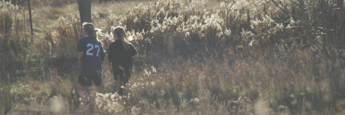
- Running is allowed on all of our non-forested trails (Ivey Trail, Trillium Trail, Acorn Trail, Native Trees of Ontario Trail)
- Cycling is not permitted on any of the trails other than the service roads and main Arboretum promenade.
Ivey Trail
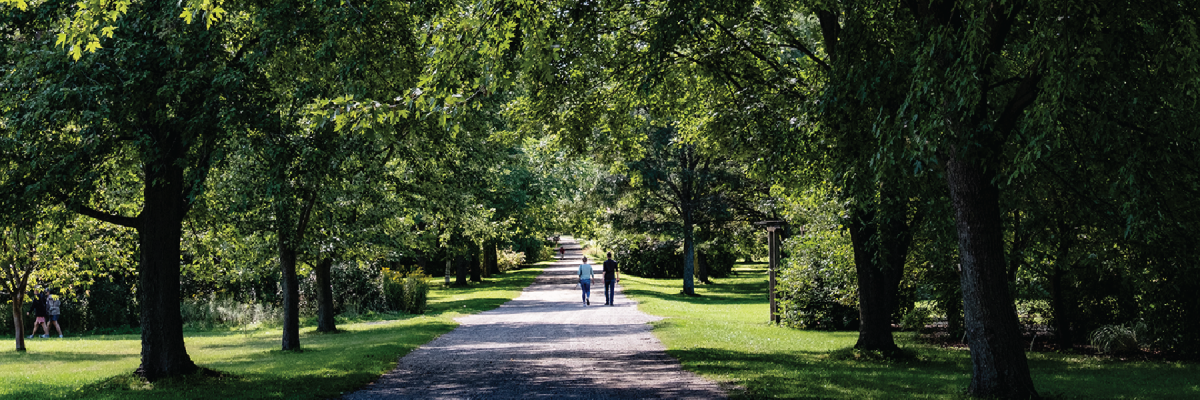
This 1.1km “backbone” trail weaves through the heart of The Arboretum, beginning at the Information Kiosk and ending at the J.C. Taylor Nature Centre. Passing through the World of Trees, the Park in the Garden, and the Roots and Shoots Garden, the trail provides access to most of The Arboretum’s other trail systems and some of the Arboretum's most visited collections. Sponsored by the Richard Ivey Foundation in 1989, the Ivey Trail is a scenic, open, and wheelchair-accessible walking path that allows visitors to move easily through the grounds without following Arboretum Road.
Trillium Trail
The Trillium Trail is the longest trail in The Arboretum, featuring a 2km loop that winds through beautiful plant collections and naturalized areas. Along the way, the trail passes through the Maple and Rotary Collections, the World of Trees, and showcases the Lilac and Rosaceae Collection which are especially beautiful to visit in the late sping and early summer.
Wall-Custance Memorial Forest Trail
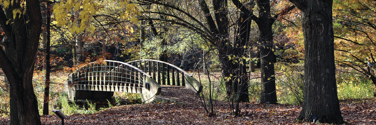
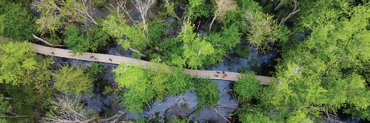
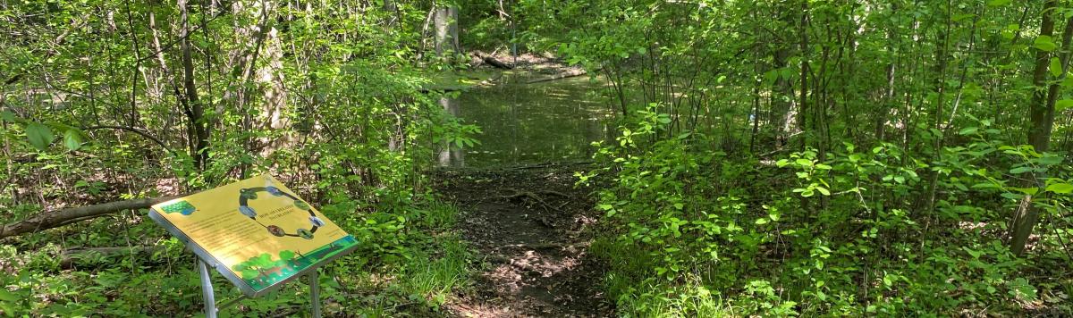
This 1.5km trail is part of a program associated with Wall-Custance Funeral Home and Chapel in Guelph. Branching off the loop through Memorial Forest Grove, it functions as a naturalized corridor that travels through The Arboretum and connects to Mtigwaaki Forest. Near the start of the trail by Kiosk entrance of the Arboretum, a loop passes through areas of memorial plantings, where decades trees have been dedicated in memory of loved ones. The trail also features a boardwalk crossing a naturalized wetland, offering views into this sensitive ecosystem.
Since 1990, layers of trees and shrubs native to Wellington County have been planted along the trail to enhance habitat, create wildlife corridors, and support biodiversity. More information about the Wall-Custance Memorial Forest Grove. [2]
Native Trees of Ontario Trail
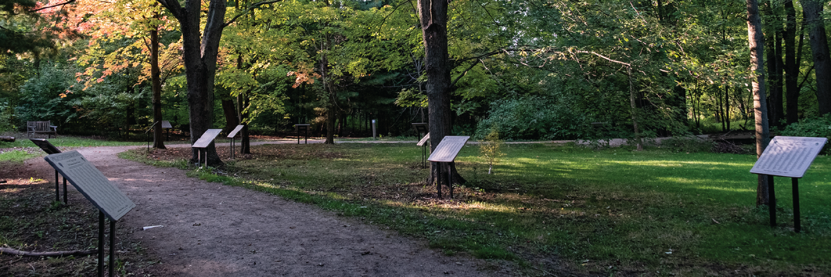
The Native Trees of Ontario Trail invites visitors to explore trees and shrubs that evolved naturally in Ontario. Comprised of two seperate gently meandering loops, the East Loop and the West Loop, the trails wind through naturalized plantings of native Ontario plant species. Mown paths lead through layered vegetation where native species grow and support relationships with native wildlife. Interpretive signs along the trail highlight individual species and their ecological importance, offering a deeper understanding of Ontario’s native woody plants and the role they play in healthy landscapes. More information about the Native Trees of Ontario Collection. [3]
Col. John McCrae Trail
Passing through the Gravel Pit Rehabilitation Collection and along a century-old hedgerow, this 700m trail links Wild Goose Woods and Mtigwaaki Forest. Along the way you will also pass through the Conifer and Dwarf Conifer Collections.
Wild Goose Trail
This 600m nature trail consists of boardwalks and dirt paths that meander through areas of marsh, forest, and swamp habitat, which contain a wide variety of native wildlife species. More information about Wild Goose Woods [4].
Chipmunk Trail
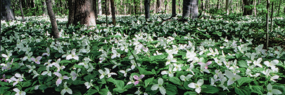
The Chipmunk Trail is a 700m trail that meanders through Mtigwaaki Forest, which is an old-growth maple-beech woodland, an area that has never been clear-cut. It is a beautiful area to visit in the spring with many naturalized spring ephemerals, including our native Trilliums. More information about Mtigwaaki Forest [4].
Mtigwaaki Trail
This 400m nature trail also runs through Mtigwaaki Forest, and was developed by working with Anishinaabe Elders and Knowledge Holders as well as Anishinaabe environmental scientists. The trail contains four interpretive signs that are designed to foster viewers understanding of the forest from an Anishinabek perspective and call them to act on how we can better treat Mother Earth.
Acorn Trail
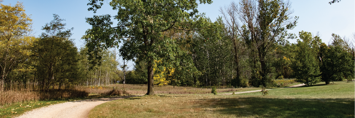
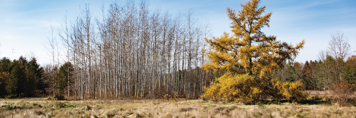
The Acorn Trail is a 1.5 km loop that explores a quieter, less visted area of The Arboretum on the north side of College Avenue. The trail passes through naturalized meadows as well as the Beech and Oaks Collection. It consists primarily of wide gravel service roads and gently rolling grassy pathways, making it well suited for walking and running.
Arboretum Recreational Side Trail
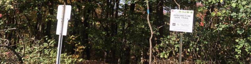
This side trail is located in the northeast area of The Arboretum, found along the Acorn Trail, a secluded gravel service road/trail which circles around plant collections, naturalizing plant communities and research plots. The side trail connects the Arboretum to both the city's trail system and the Guelph Radial Line Trail, and it includes some rustic stairs and changes in grade.
Watch a 26 minute virtual hike of this trail [5] from the Guelph Covered Bridge to the top of the steps at the entrance to the Arboretum, presented by Chris Earley the Arboretum Interpretive Biologist and Kitty and Jenny Lin, Naturalist Interpreter Interns.